
UHI intensity reduced by 0.6°C in intervention zones; 47% of city covered by greenery; 130 km of park connectors
Figures reported by the city programme, verified against published case-study sources.
Background
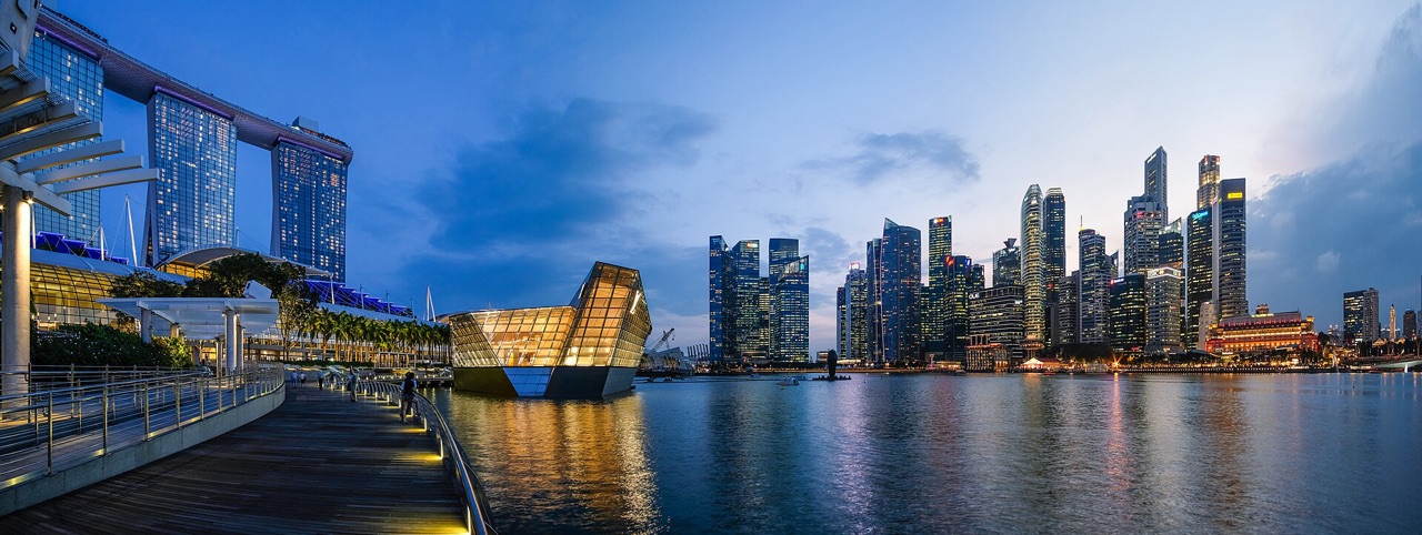
As a dense tropical city-state, Singapore faces acute urban heat island challenges — nighttime temperatures regularly exceed rural surrounds by 4–7°C. Since 2009, the government has systematically applied a multi-pronged strategy combining mandated green plot ratios, cool pavement programs, and a national park connector network.
Strategy
Singapore’s Urban Redevelopment Authority requires all new developments to achieve a Green Plot Ratio — maintaining greenery equivalent to the site’s footprint even as buildings rise vertically. The result is skyrise gardens, green roofs, and vertical walls becoming standard building elements rather than luxury add-ons.
Data Infrastructure
The National Environment Agency runs a dense network of 67 urban weather stations and a publicly accessible API delivering hourly temperature, humidity, and heat index data — making Singapore one of the world’s best-instrumented cities for urban climate monitoring.
Results
- 47% of the island covered by greenery (up from 36% in 1986 despite population growth)
- UHI intensity in CBD reduced from 4.2°C to 3.6°C between 2009 and 2022
- 1.2 million visits per weekend to park connector network, delivering health co-benefits
Lessons
Mandatory green plot ratios are more effective than voluntary green building certifications at achieving citywide cooling, but require strong regulatory capacity and developer engagement from early planning stages.