
48 km of canals restored; 3,200 hectares of urban wetlands protected; flood peak reduced by 28% in pilot catchments
Figures reported by the city programme, verified against published case-study sources.
Background
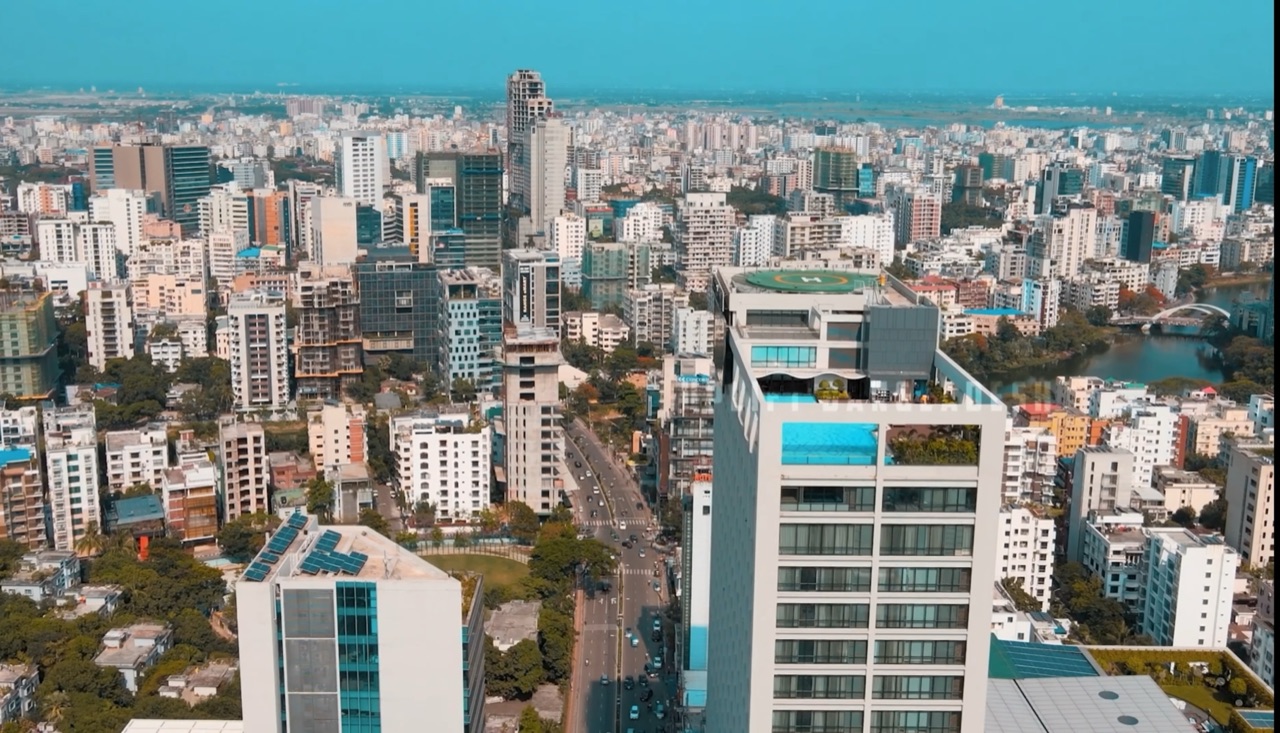
Dhaka, one of the world’s most densely populated cities, experiences severe annual flooding. Rapid urbanisation since the 1980s has eliminated 70% of the city’s historic wetland area — the natural flood buffer — replacing it with impervious surfaces. Monsoon floods regularly affect 40% of the city’s area, disproportionately impacting the 35% of residents living in informal settlements.
The Approach
The Bangladesh government’s Delta Plan 2100 identified Dhaka’s urban waterbodies as critical climate infrastructure. Phase 1 (2019–2024) focused on:
- Restoring 48 km of encroached canals
- Legally protecting 3,200 hectares of urban wetlands from further development
- Piloting 12 bioretention areas in informal settlements prone to flash flooding
The Stormwater Runoff Modeler was used to quantify the hydrological benefit of wetland restoration under climate projections, providing the evidence base for land acquisition decisions.
Results
- Flood peak flows reduced by 28% in the pilot Balu River sub-catchment
- 240,000 residents in restored canal corridors experienced fewer flood events
- Programme cited in World Bank report as a replicable model for South Asian megacities