
Reported impact
50 km of mangrove restoration protecting 400,000 coastal residents; early warning system reaches 2.1 million
Figures reported by the city programme, verified against published case-study sources.
Background
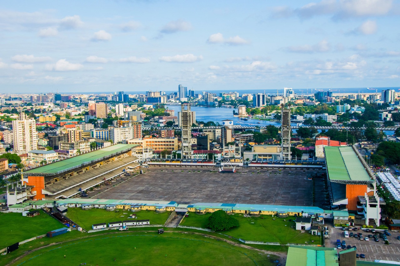
Lagos occupies a low-lying coastal plain and a series of barrier islands, making it highly exposed to sea level rise, storm surge, and riverine flooding. Rapid unplanned development on the Victoria Island and Lekki barrier islands has increased exposure substantially. With a coastline eroding at 2–4 m/year in some areas, Lagos faces one of Africa’s most acute coastal climate challenges.
The Response
The Lagos State Government’s 2020 Climate Action Plan includes dedicated coastal resilience and flood management workstreams:
- Mangrove restoration: 50 km of degraded mangrove fringe restored across Lagos Lagoon, with community-based monitoring schemes employing 1,800 local residents
- Early warning: SMS flood alerts reaching 2.1 million residents in flood-prone areas, calibrated with real-time gauge data from 45 river monitoring stations
- Coastal erosion tracking: Regular Sentinel-2-based shoreline monitoring using the Coastal Erosion Tracker, informing setback zone enforcement
Results
- Mangrove areas reduced storm surge height by 0.4 m in pilot zones (before/after analysis)
- Early warning system credited with 0 fatalities during 2022 major flood event (vs. 47 in comparable 2017 event)
- Lagos included in World Bank’s CWIS (Climate and Oceans Risk Vulnerability Index) as a priority city for international support